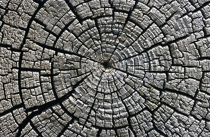
Файл:Weathered growth rings at Aztec Ruins National Monument.jpg

Үзлэгийн хэмжээ : 800 × 525 пиксел Бусад зургын нягтрал: 320 × 210 пиксел | 640 × 420 пиксел | 1,024 × 671 пиксел | 1,280 × 839 пиксел | 1,969 × 1,291 пиксел.
Эх файл (1,969 × 1,291 пиксел, файлын хэмжээ: 3.93 МБ, MIME төрөл: image/jpeg)
Файлын түүх
Огноо/цаг дээр дарж тухайн үеийнх нь файлын байдлыг харна уу.
| Огноо/Цаг | Жижиг зураг | Хэмжээ | Хэрэглэгч | Тайлбар | |
|---|---|---|---|---|---|
| одоогийн | 00:57, 9 Нэгдүгээр сар 2010 |  | 1,969 × 1,291 (3.93 МБ) | Michael Gäbler | {{Information |Description={{en|1=Weathered growth rings in a horizontal cross section cut through an tree felled around AD 1111 used for the western building complex at [[:en:Aztec Ruins National Monument|Aztec Ruins |
Холбоос
Дараахь хуудсууд уг файлтай холбогдсон байна:
Файлын хэрэглээ (бүх төсөл)
Дараах бусад вики энэ файлыг ашигладаг:
- ba.wikipedia.org дахь хэрэглээ
- bn.wikipedia.org дахь хэрэглээ
- crh.wikipedia.org дахь хэрэглээ
- cv.wikipedia.org дахь хэрэглээ
- de.wikipedia.org дахь хэрэглээ
- en.wikipedia.org дахь хэрэглээ
- fa.wikipedia.org дахь хэрэглээ
- fr.wikipedia.org дахь хэрэглээ
- Parc national des grottes de Carlsbad
- El Malpais National Monument
- Aztec Ruins National Monument
- Capulin Volcano National Monument
- Gila Cliff Dwellings National Monument
- Bandelier National Monument
- El Morro National Monument
- Piste de Santa Fe
- Monument national de Petroglyph
- Camino Real de Tierra Adentro
- Fort Union National Monument
- Salinas Pueblo Missions National Monument
- Parc national des White Sands
- Modèle:Palette Unités du National Park System au Nouveau-Mexique
- Manhattan Project National Historical Park
- Valles Caldera National Preserve
- Pecos National Historical Park
- Chaco Culture National Historical Park
- Old Spanish National Historic Trail
- he.wikipedia.org дахь хэрэглээ
- hr.wikipedia.org дахь хэрэглээ
- hu.wikipedia.org дахь хэрэглээ
- ko.wikipedia.org дахь хэрэглээ
- lbe.wikipedia.org дахь хэрэглээ
- mk.wikipedia.org дахь хэрэглээ
- os.wikipedia.org дахь хэрэглээ
- pam.wikipedia.org дахь хэрэглээ
- pl.wikipedia.org дахь хэрэглээ
- pt.wikipedia.org дахь хэрэглээ
- pt.wikibooks.org дахь хэрэглээ
- ru.wikipedia.org дахь хэрэглээ
Энэ файлын дэлхийн хэрэглээг харах.


